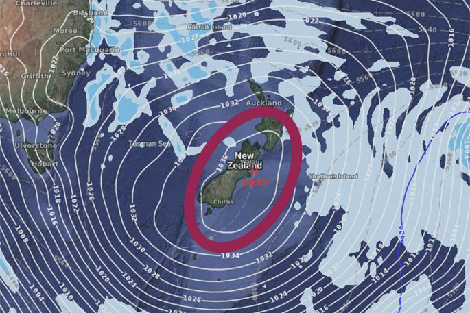
The dry, settled Bay of Plenty weather will be briefly interrupted this week, as a front spreading north over New Zealand brings a spell of rain during Tuesday and early Wednesday.
However, the good news is more settled weather is expected to return during the second-half of the week.
Showers are expected to hit the Bay of Plenty mid-week. Photo: File.
Strong north-west winds precede the front, and a severe gales watch has been issued for Canterbury, Wairarapa and central Hawkes Bay.
'There is also a cold southerly change following the front on Tuesday, which should bring a noticeable but brief dip in temperatures, particularly in eastern areas,” says MetService meteorologist Stephen Glassey.
The front moves away to the east on Wednesday, followed by a ridge of high pressure which will bring a return to more settled conditions.
The colder air over the country following the front could produce frosts in some inland parts of the South Island and the lower North Island on Wednesday and Thursday mornings.
Another front is expected to move on to New Zealand this weekend.
'It's still too early to say exactly how this front will affect the country, so people should keep an eye on our forecasts over the coming days as the picture becomes clearer,” says Stephen.
Looking further afield, the tropics are becoming more active as the formal start of the Tropical Cyclone Season approaches on November 1.
With a strong El Nino in effect, cyclone activity is expected to be above normal this season, and MetService meteorologists are already watching the tropics closely for signs of early development.

0 comments
Leave a Comment
You must be logged in to make a comment.