Scattered thunderstorms are developing over parts of the Eastern Bay of Plenty and Gisborne this afternoon, and are expected to continue affecting these areas throughout the evening.
A few of these thunderstorms may be severe east of Whakatane and north of Gisborne city, producing localised downpours of 25-45mm/hr.
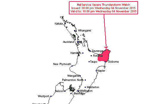
The MetService has issued a thunderstorm warning for the Bay of Plenty. Image: MetService.
'Rainfall of this intensity can cause flash flooding, especially about low-lying areas such as streams, rivers or narrow valleys, and may also lead to slips,” says the MetService.
'Driving conditions will also be hazardous with surface flooding and poor visibility in heavy rain.
Severe Thunderstorm Watch issued https://t.co/WqIjSFwotK pic.twitter.com/yUNT45pQqh
— Severe Weather Info (@MetServiceWARN) November 4, 2015Severe Thunderstorm Criteria
MetService uses the following criteria for severe thunderstorms in New Zealand:
Heavy rain (from thunderstorms):
Rainfall of 25 millimetres per hour, or more.
Large hail:
Hailstones 20 millimetres in diameter, or larger.
Strong wind gusts (from thunderstorms):
Gusts of 110 kilometres per hour (60 knots) or stronger.
Damaging tornadoes:
Fujita F1 (wind speeds greater than 116 kilometres per hour (63 knots)) or stronger.
Note: some tornadic systems such as funnel clouds, waterspouts and small land-based tornadoes are possible with thunderstorms that may not be classified as severe.

0 comments
Leave a Comment
You must be logged in to make a comment.