The cool southerly flow that peppered most of New Zealand with showers yesterday is expected to ease today.
Showers will clear today as a high moves onto the country from the Tasman Sea.
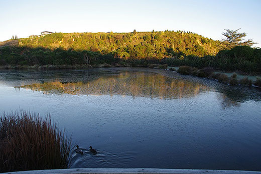
Today is looking fine but showers are expected to creep in on Sunday.
'As skies clear and southerlies ease, temperatures will plummet and frosts are likely in sheltered places Friday morning,” says MetService meteorologist Peter Little.
As the high moves away to the northeast on Saturday, a northwesterly flow develops over the country ahead of another front.
Whilst most people can expect a dry Saturday, the front brings rain to the West Coast of the South Island and to the far south, where there is a change to cold southwesterlies late in the day.
The front moves slowly northwards onto the North Island on Sunday, bringing rain to many places.
'People should plan for indoor activities on Sunday, as wet weather is expected across much of New Zealand, with the heaviest falls likely in the west,” says Peter.
The rain lingers over northern New Zealand into Monday, with heavy falls possible, while a showery southwesterly flow covers the remainder of the country.
The weather becomes more settled by the middle of next week as a new high moves onshore from the Tasman Sea.

0 comments
Leave a Comment
You must be logged in to make a comment.