A more vigorous steam and gas plume rising from Whakaari / White Island is being observed by residents.
Photos sent to SunLive recently show the plume being continuously emitted from the active volcano in the Bay of Plenty.
In a statement released today, GNS duty volcanologist Mike Rosenberg says calm and cool weather conditions offshore in the Bay of Plenty is allowing for very clear views of this activity for many from the coast.
Mike says no clear eruptive activity has been observed at Whakaari/White Island since Saturday, May 25.
The Volcanic Alert Level remains at Level 2 (moderate to heightened unrest) and the Aviation Colour Code remains Yellow.
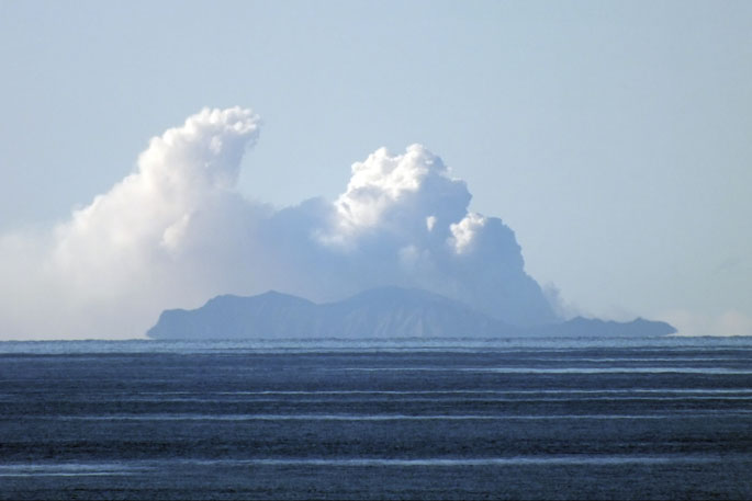
 Whakaari/White Island as seen from Murphys Campground last week. Photo: Valerie Willoughby.
"When views are clear from our web camera in Whakatane, we often observe low level and weak steam and gas emissions from the island," says Mike.
"These appear to have increased slightly since Wednesday last week and the plume appears hazier as the gas and vapour content increases.
"Cold air can help condense water vapour and make the plume look more obvious.
"Sunlight at different times of the day can also make the plume look different colours from white to grey to pale orange-brown."
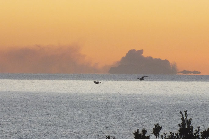
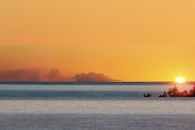 The plume seen coming from the volcano during as the sun rose in the Bay of Plenty on Sunday. Photo: Colin Adams.
Mike says satellite sensors have not detected sulphur dioxide gas or volcanic ash, and we have not seen any volcanic ash emissions in web camera images.
He says changes in the plume have been seen many times in the past and represent normal processes in the volcano like those happening since May as the lake and main crater area slowly dry out (see Volcanic Activity Bulletins 2024/04 and 2024/05).
Although the Volcanic Alert Level remains at Level 2, eruptions can still occur with little or no warning, says Mike.
The Volcanic Alert Level reflects the current level of volcanic unrest or activity and is not a forecast of future activity.
While Volcanic Alert Level 2 is mostly associated with volcanic unrest hazards (including discharge of steam and hot volcanic gases, earthquakes, landslides, and hydrothermal activity), the potential for eruption hazards remains.
"As we have no sensors on the island, we continue to rely on remote cameras and satellite imagery, complemented with gas and observation flights to assess the volcanic activity.
"Further gas and observation flights will be conducted by GNS Science volcanologists to maintain a close eye on activity levels.
"GNS Science’s National Geohazards Monitoring Centre and Volcano Monitoring Group, through the GeoNet programme, will continue to closely monitor Whakaari/White Island for further changes in unrest."
Further information about the Volcanic Alert Levels and what they mean can be found here.
More information on the recent minor eruptions can be found here.
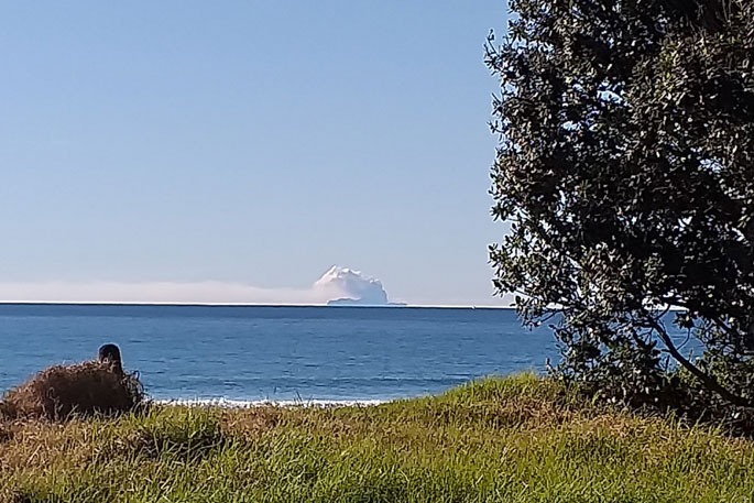
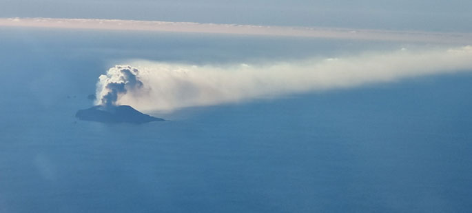 This image captured on Thursday (July 4) shows the low-level plume of gas and vapour drifting eastwards from Whakaari/White Island, Photo supplied: Chris Clark/GNS.

1 comment
Tsunami threat is minimal, probably al
Posted on 10-07-2024 15:10 | By adrianmullershow@gmail.com
If Whakaari did explosively erupt, any tsunami would move out from just the the one central point, and so would be of a minimal size, probably about 500 mm or half a metre, by the time it reached the Bay of Plenty coastal beaches.
Most of the the B.O.P. have sand-dunes 7 or 9 metres high on the shoreline which would absorb any tsunami waves anyway.
Even ash would be predominantly blown northward or eastward, and not reach the mainland at all, as opposed to Lake Taupo, from where ash metres deep were laid all over Tauranga-Whakatane in the last couple of thousand years
Leave a Comment
You must be logged in to make a comment.