To help with the planning of future flood prevention work, Bay of Plenty Regional Council is seeking photos from around the region that show the impact of the recent Easter weekend floods.
Residents are encouraged to send in any images or video clips they have of the Easter storm events, in particular, any damage or watermarks that show where the flood waters rose to.
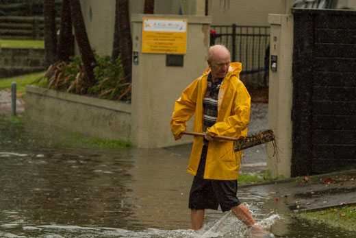
Oceanbeach Road resident Stuart trying his best to clear drains. Photo: Sharp Focus Photography.
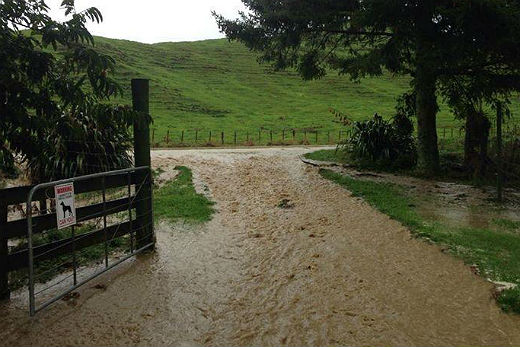
Flooding in Kawerau.
Natural hazards general manager Ken Tarboton says the Regional Council is leading a region-wide flood risk project building collaboration between local authorities.
He says the information from these photos will add to detailed flood modelling, weather pattern data, river level data and other information as part of this flood management project.
'Flood events are, by their nature, unpredictable. But Council has at its disposal detailed models and data that help us build a fuller picture of floods in the region. A database of images from known trouble spots is another source of information that we can add into that mix.
'Council is collaborating with local territorial authorities to enhance flood management models and additional data (including photos) will help us in that work.
'Taken together, all this information helps us plan our future works and flood management projects to prepare even better for the next event.”
Ken says images should include the date, time and location of the photo and be sent to info@boprc.govt.nz or dropped off or posted to Regional Council offices.
All entries go in the draw to win a professional weather station.

1 comment
Admission
Posted on 29-04-2014 17:37 | By Johnney
Is this some kind of admission that they don't know what is going on in their own patch.
Leave a Comment
You must be logged in to make a comment.