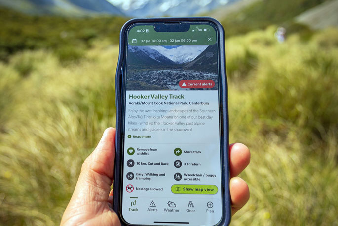
Phones are becoming the navigation tool of choice in New Zealand’s outdoors, according to an Adventure Voice survey.
The recent survey of NZ Mountain Safety Council’s Adventure Voice outdoor research community highlights the number of outdoor enthusiasts who have made the switch to phones for navigation and the different ways they are using them.
“Printed maps and handheld compasses have been the keystone of navigation on New Zealand tracks for decades, but that’s changing as technology evolves and new apps keep popping up,” says MSC chief executive Mike Daisley.
“The Adventure Voice research community has provided valuable insights into how Kiwis are using phones in the outdoors.”
Mapping apps edged out printed maps in the survey.
Of the 771 respondents, 91 per cent use a mapping app always (34 per cent) or sometimes (57 per cent), as opposed to 86 per cent who either always (33 per cent), sometimes (39 per cent) or seldom (14 per cent) take a map.
Asked how frequently they carry a compass, 26 per cent of respondents said never, while 74 per cent said either always (35 per cent), sometimes (24 per cent) or seldom (15 per cent).
“We can now see with certainty that most people have shifted to using digital devices for navigation, which changes the way people need to prepare for the outdoors and the advice that MSC provides,” says Mike.
“For example, protecting your phone, monitoring the battery and always having a back-up.”
The findings show that people are using their phones for a vast range of navigation-related functions.
This includes tracking or recording their progress, taking a photo of the map, identifying landmarks in the distance, and using a digital compass.
Other uses include planning the route, determining elevation, exploring the night sky using a stargazing app, geocaching, and taking screenshots of track descriptions and route notes.
Of the 69 respondents (nine per cent) who don’t use their phone for navigation, the top five reasons given were being comfortable relying on track signage, no coverage in the area, enjoying the challenge of navigating without technology, preferring to be without technology in the outdoors and concerns about phone battery.
Whether you take your phone as a navigation tool or not, basic navigation skills are essential for any trip, says Mike.
“No matter what navigational tools you choose, it’s essential that you know how to use them to find your way to your destination and, even more importantly, to make it home. The NZ Mountain Safety Council has key information on navigation and an interactive learning tool that teaches you the basics.”
MSC’s 5 top tips for using a phone for navigation
-
Protect your phone from water damage, for example with a waterproof bag.
-
Use battery saving mode or flight mode to conserve the battery.
-
Take a lightweight power bank or solar charging unit so you can charge as you go.
-
Ensure someone in your group has a back-up phone with a mapping app.
-
Carry a printed map, just in case your technology fails.


0 comments
Leave a Comment
You must be logged in to make a comment.