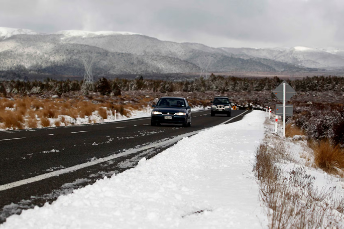
After a freezing weekend, New Zealand starts the work week sandwiched between a ridge and a low place, with a ridge of high pressure squeezing past south of the country, while a low-pressure system sits to the northeast.
This pairing is driving cold southeasterlies into the country, locking in frosty starts, brisk days and some stubborn cloud for parts of the east, the MetService said in its latest weather update.
Most of Tuesday will be crisp, calm, and dry, with frosts expected for all except the northern most regions.
Eastern coastal areas from Canterbury to Hawke’s Bay will continue to have cloud and patchy showers through the first half of the week, making for some damp and dreary days.
“This squeeze of systems is funnelling cold air up from the south,” said meteorologist Devlin Lynden.
“Eastern regions will have to wait until midweek for the cloud to clear, but elsewhere it’s a run of frosty, sunny winter days.”
By Wednesday that ridge strengthens, pushing the low further away, bringing brighter skies and sunshine to eastern areas.
Southerly winds weaken but continue to keep the air cold.
With the cloud gone, afternoons will feel much more pleasant through to the end of the work week.
After a series of small top-ups for some skifields and a few more dustings expected across Canterbury’s ski areas in the coming days, a sneaky late-week ski day may be on the cards.
Cool temperatures and clear skies will make for some primo conditions on the mountains.
“Layer up in the mornings, watch for icy roads, enjoy some crisp, sunny afternoons once the midweek clearance arrives, and head to metservice.com for the latest,” added Lynden.

0 comments
Leave a Comment
You must be logged in to make a comment.