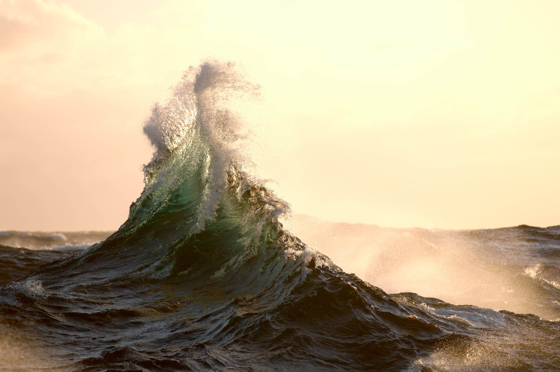
New tsunami inundation maps are now available for the Western Bay of Plenty District.
The maps, which were identified in a report by GNS Science – now known as Earth Sciences New Zealand – help with understanding the risk to land and buildings by showing where water could reach if a tsunami occurred.
They differ to tsunami evacuation zones, which show where people should go to stay safe.
Western Bay of Plenty District Council and the Bay of Plenty Regional Council are updating the natural hazards maps for the district.
This is because of the Resource Management Act and Bay of Plenty Regional Policy Statement, which have requirements relating to how councils manage natural hazard risks.
As the mapping of each hazard is completed, landowners are notified and the information is put on council’s website, property files and in any Land Information Memoranda (LIMs) requested for properties.
Council also uses the maps when processing resource consents, project information memoranda and building consents, to ensure that the risk from natural hazards to people and buildings is assessed.
Emily Watton, Western Bay of Plenty District Council acting general manager strategy and community, said this new information “improves our understanding of the risks that tsunamis could create and how the district’s coastlines and low-lying areas may be affected if such an event were to occur”.
“Improving the accuracy of hazard maps, like these, is more critical than ever due to the increasing legislative requirements around natural hazard management, the need to reduce risk, and ensuring preparedness and response to potential disasters,” Watton said.
The new tsunami inundation maps are included on council’s online natural hazards maps at: www.westernbay.govt.nz/property-rates-and-building/natural-hazards
The maps showed the area of land that could potentially be flooded by a tsunami caused by a rare offshore earthquake that has a wave height ranging between 8m and 15m along the Bay of Plenty coast; or a 5m high tsunami caused by a rare offshore earthquake.
Affected properties have either one, or both, of these tsunami events mapped.
For most of the district, this is the first time that tsunami inundation has been mapped. However, for Maketū, Little Waihi and Pukehina, these new maps will replace older maps from 2017, and in some cases properties are no longer identified.
For a copy of the technical report by GNS Science and more information about tsunamis, how they are mapped and how this may affect the use of a property, visit westernbay.govt.nz/naturalhazards

0 comments
Leave a Comment
You must be logged in to make a comment.