In spite of red heavy rain warnings and a region-wide state of emergency, Eastern Bay of Plenty districts got off lightly during the storm that struck overnight on Wednesday.
Whakatāne residents spent a fearful night after warnings to expect huge rainfalls.
“We’re going to see the highest rainful that we’ve seen for some years, most likely,” Mayor Nandor Tanczos warned over his Facebook page.
However, Bay of Plenty Regional Council recorded only 109mm of rain in the Whakatāne township in the 24 hours before 9am Thursday.
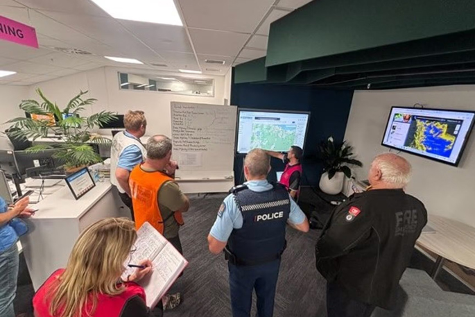
Whakatāne District Council announced at around 11am on Thursday that it had stood down its Emergency Operations Centre.
Local Civil Defence controller Mike Avery said the council acknowledged that neighbouring districts, including Western Bay and Tairāwhiti, had experienced significant impacts.
“Over the coming days, we’ll be working closely with Emergency Management Bay of Plenty to identify how we can best support recovery efforts,” he said.
Tairāwhiti-Gisborne suffered severe flooding, slips and road closures including State Highway 35 between Pōtaka and Tolaga Bay.
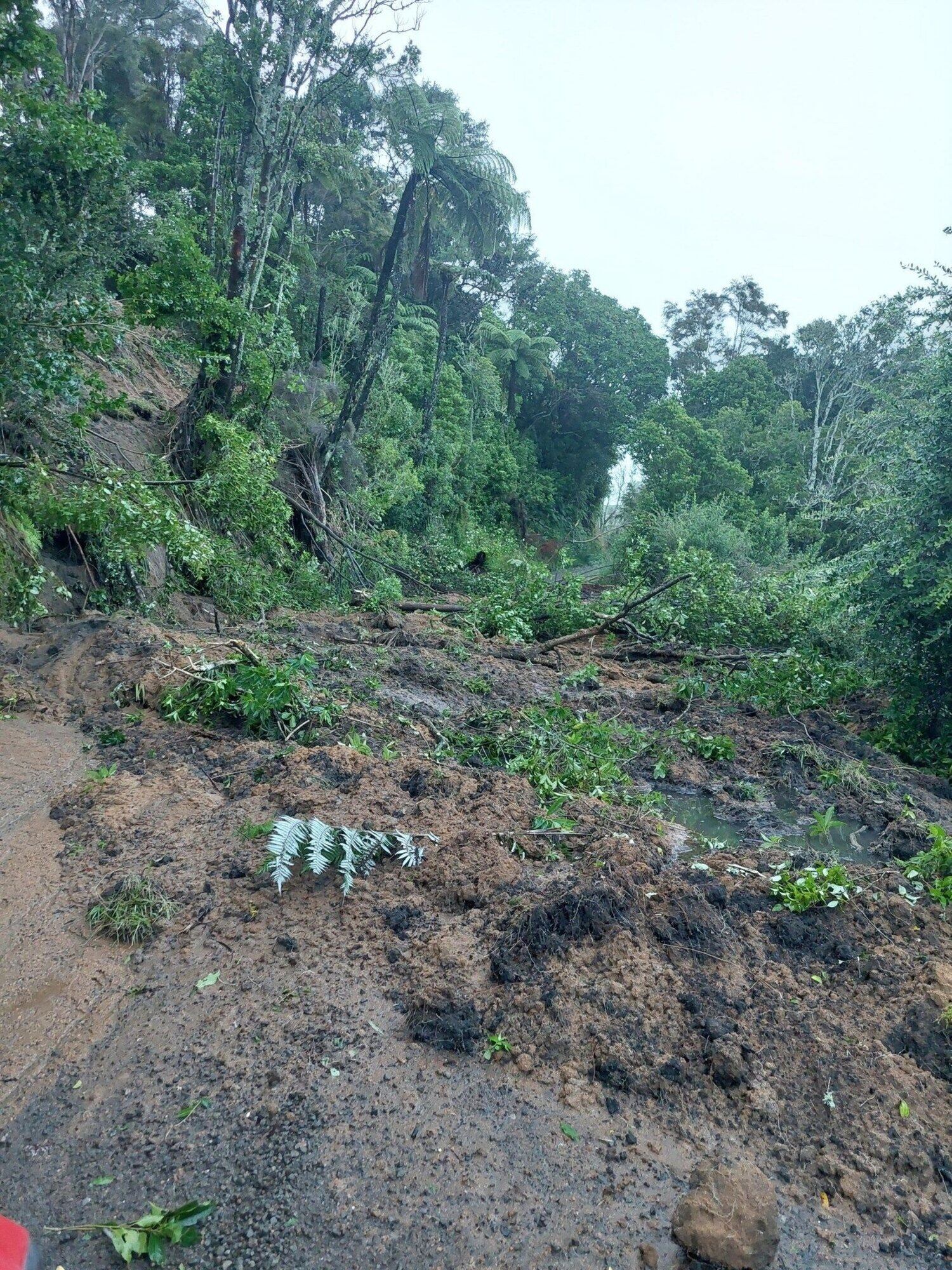
A slip blocks Herepuru Rd in Matatā, Eastern Bay of Plenty.
New Zealand Transport Agency Waka Kotahi (NZTA) said SH35 was no longer a viable detour for the Waioweka Gorge, which is expected to be closed for weeks.
However, it was too soon to say how long the route around the East Cape would be closed.
“Our crews are unable to assess it until the water calms down,” an NZTA spokesperson said.
The highway was temporarily closed between Ōpōtiki and Tolaga Bay overnight.
After the road was inspected, the section between Ōpōtiki and Pōtaka was reopened on Thursday morning, with motorists being urged to use caution.
The Tauranga Eastern Link highway was also closed.
Whakatāne District Council reported that western areas of the Whakatāne district received the most rain with Manawahe hills recording 210mm over 24 hours.
The council reported slips and flooding causing road closures in Matatā, Manawahe and Awakaponga.
The council also extended thanks to residents for heeding safety messages, staying off roads where possible and providing valuable local information.
“Your co-operation has helped keep people safe and enabled our staff and contractors to focus on the most urgent response work.”
Avery also urged that people continue to use caution when travelling within the Whakatāne district.
“While the heaviest rain has now passed, saturated ground means there may still be isolated impacts today.”
“These could include surface flooding, slips, debris on roads or temporary road closures in some areas.
“Road users are asked to take care, slow down and follow any signage or directions from crews on site.”
LDR is local body journalism co-funded by RNZ and NZ On Air.
![]()

0 comments
Leave a Comment
You must be logged in to make a comment.