With the final week of meteorological winter in full swing, MetService is forecasting plenty of sunshine for the start of the week.
Some areas in the north and east of the North Island can expect showers.
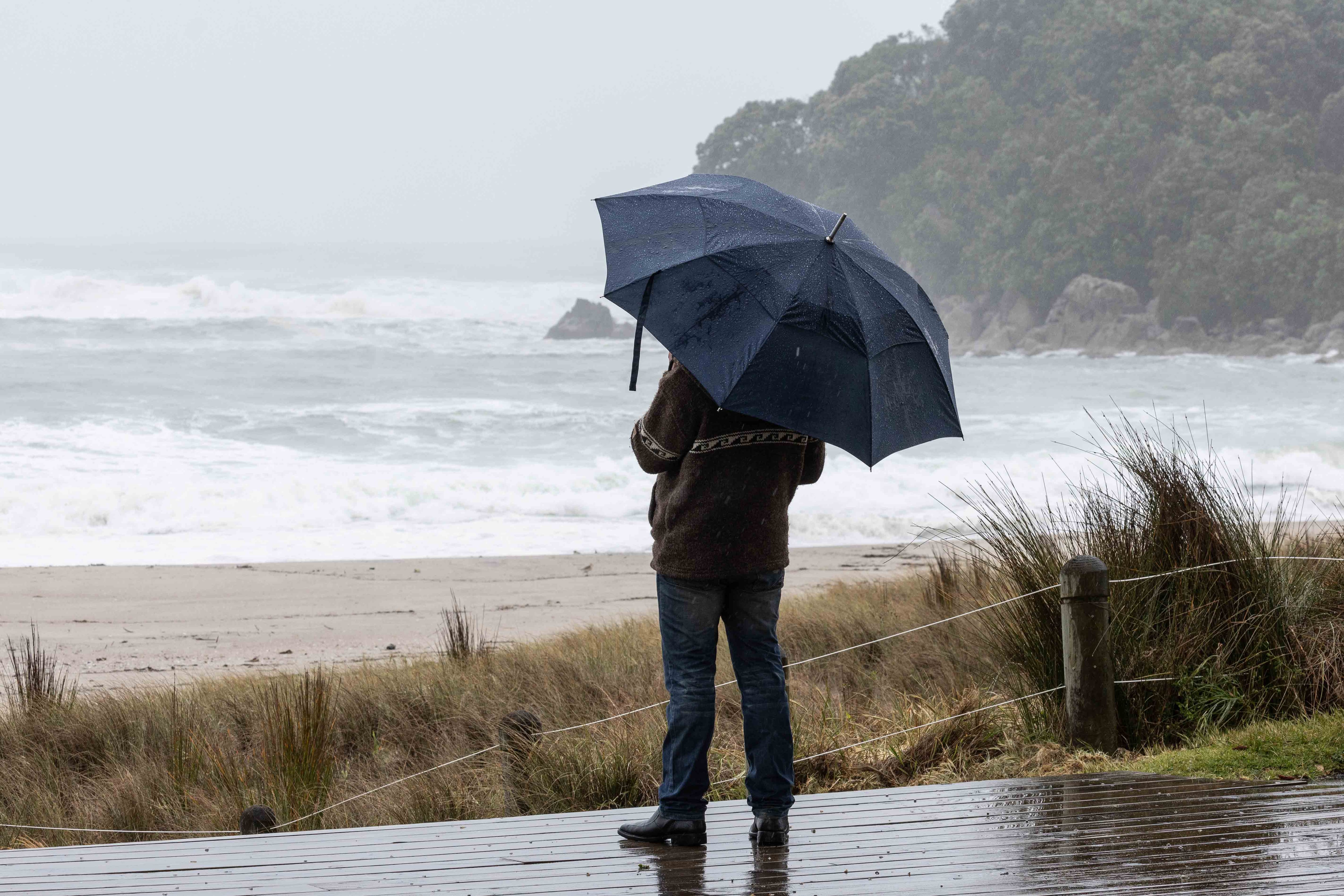
From Wednesday, the see-saw tips back to wet and windy weather as a front moves across the country, said the MetService in its latest weather update.
It was an active weekend for the upper North Island, with more than 3000 lightning strikes detected, mostly offshore.
Heavy showers brought considerable amounts of small hailstones to parts of Northland and Auckland, blanketing the ground in white – an unusual sight in the ‘winterless north’.
“With the end-of-winter sun getting stronger, the land is warming up more and more during the day, so when cold air moves over aloft, conditions are primed for producing thunderstorms and hail,” said MetService meteorologist Silvia Martino.
Eastern parts of Northland, northern Auckland, and Coromandel might still see thunderstorms and small hail on Monday afternoon and evening, but by Tuesday conditions settle down, with lighter showers and plenty of sunny breaks expected.
Fine and frosty weather dominates the rest of the country to start the week, with morning fogs burning off faster and faster the closer we get to spring.
Daytime temperatures also start to climb as the week goes by, getting into the high teens for many places from Wednesday onwards – all eyes will be on Gisborne and Napier, which might even crack 20°C.
“Unfortunately for those looking forward to milder spring days, this warm spell will be short-lived – winter still has one last gasp for us, as chillier air sweeps back up the country on Friday,” Martino said.
The exception to this sunny start of the week is the North Island’s east coast, where rain is expected on and off until Wednesday, particularly about Tairāwhiti/Gisborne, and blustery southeasterly winds pick up from Tuesday evening.
Windy conditions will also make themselves known further south later in the week, with northwesterlies cranking up about Fiordland and Southland from Wednesday, then spreading north as far as Wairarapa during Thursday, and into Central Hawke’s Bay on Friday.
“Severe Weather Watches or Warnings may be issued as we get closer to the event, so make sure to check back in on the MetService website and app for the latest information,” Martino suggested.
The front driving those strong northwesterlies will also bring a brief burst of heavy rain as it crosses the South Island on Thursday and North Island on Friday.
Colder temperatures behind the front on Friday may bring snow to elevated parts of the South Island, possibly affecting higher roads and stations.

0 comments
Leave a Comment
You must be logged in to make a comment.